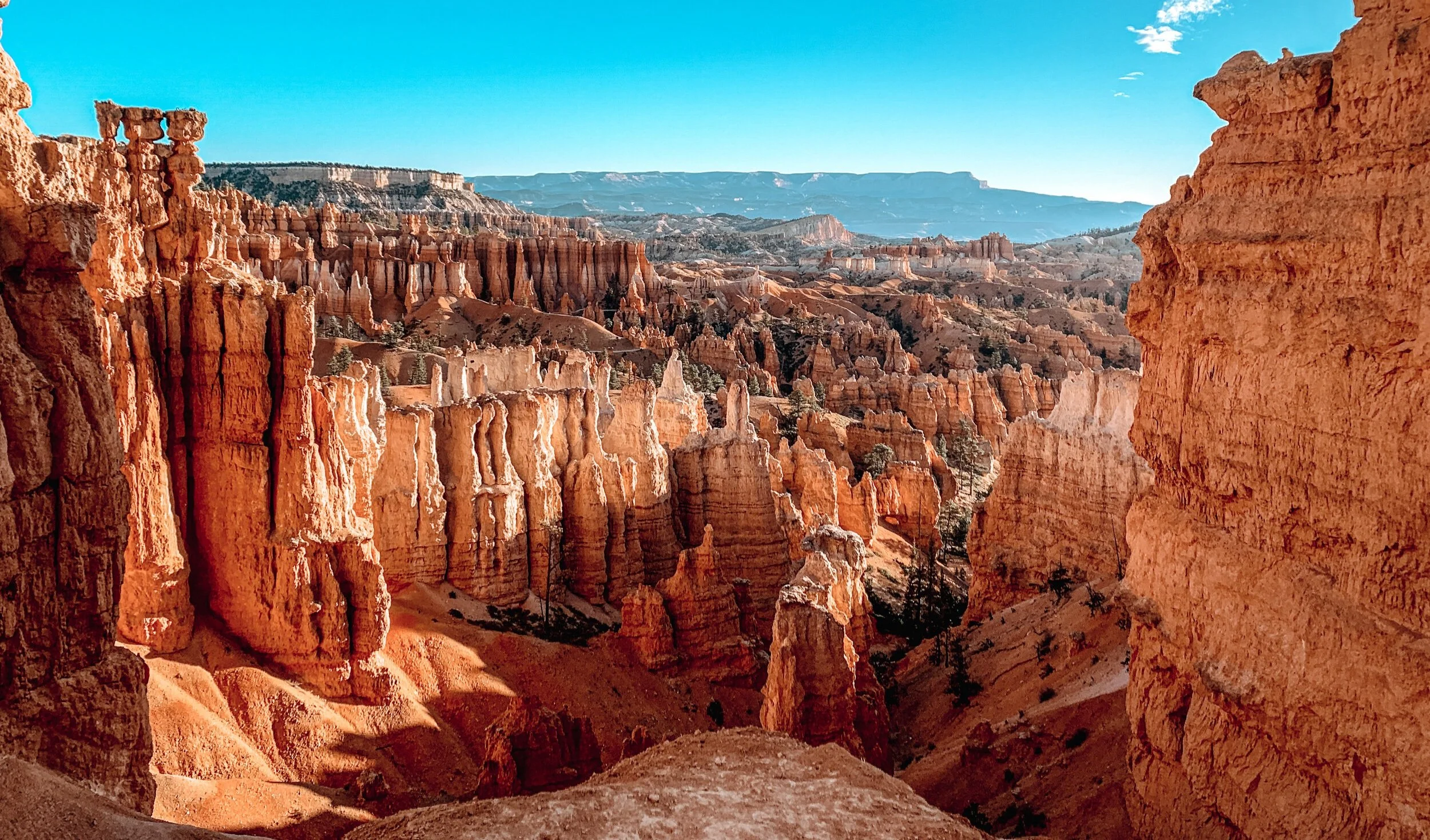
Bryce Canyon was one of those parks that completely blew away my expectations!
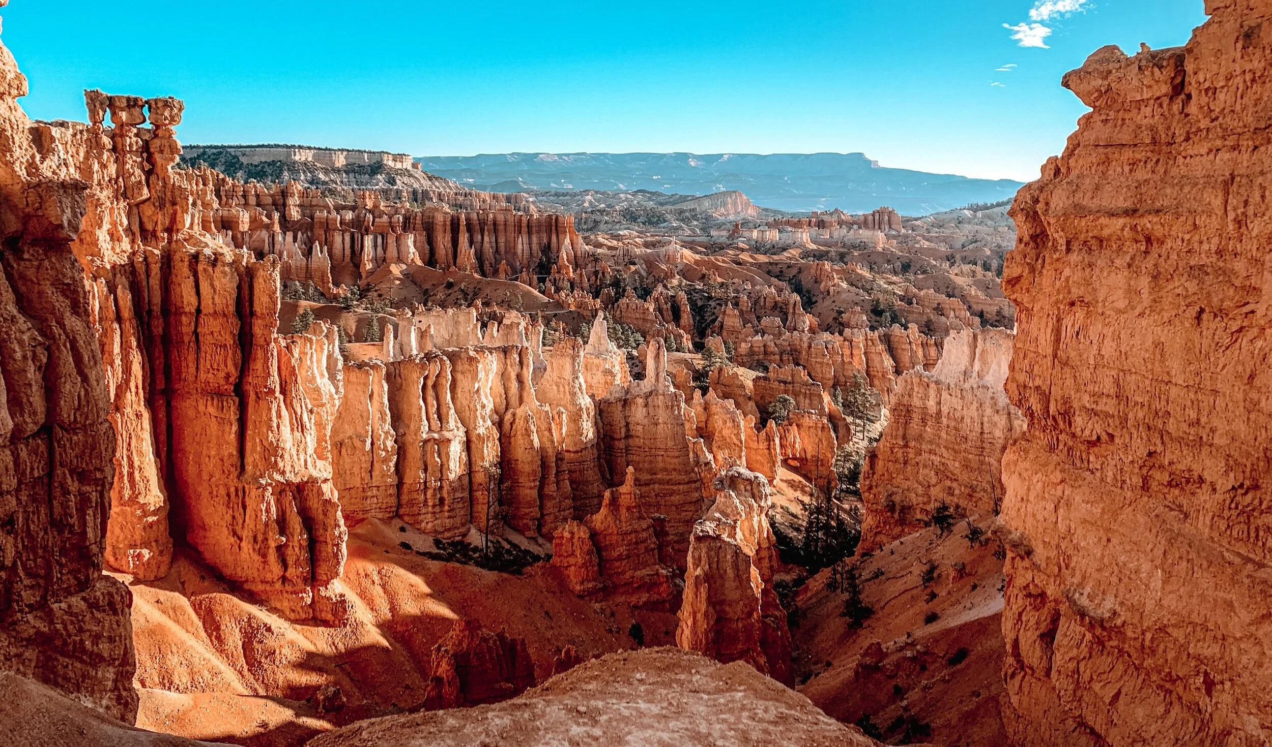
The hoodoos are so unique, especially if you go in the late fall or winter when the hoodoos are covered in a thin blanket of snow.
I wasn’t expecting so many huge pine trees either. The red rock and lush forest complimented each other so unique and perfect.
We went in late November, and it was very chilly in the morning. However, the best thing about visiting national parks in late fall or winter is its off-season, which means less than half the normal tourists!
If you want the ultimate Southern Utah vacation then I recommend visiting Kanab, UT for a week and visiting multiple national parks!
It took us about an hour and twenty minutes to get to Bryce Canyon National Park from Kanab.
There isn’t much surrounding Bryce Canyon, and in the fall and winter a lot of the local shops and RV parks are closed, so I would recommend just getting up early to drive to the park.
If you do go early make sure to download or take pictures of the park map as the entrance station (where you would normally get a map) may be closed.
Can you Visit Bryce Canyon in 1 Day?
You can definitely visit Bryce Canyon in one full day with enough time to hike the famous Navajo Loop Trail and see most of the iconic views. I’ve outlined below the best hikes and scenic points in Bryce Canyon National Park that you won’t want to miss.
Some people try to combine Bryce and Zion in one day, and I would strongly advise against this as you need at least an entire full day in Zion alone, if not three. There is so much to do in Zion National Park.
How long is Scenic Drive through Bryce Canyon?
The Scenic Drive through Bryce Canyon is an 18-mile drive that contains 9 viewpoints. It usually takes about 2-3 hours to stop and see all the viewpoints minus the hiking trails. We highly recommend hiking the two most popular trails: Navajo Loop Trail and Mossy Cave Trail, and that will add another 3-4 hours to your trip.
Know Before You Go
Bryce Canyon entry fee is $35 per vehicle, valid for 7 days or you can use your American the Beautiful parks pass.
Bryce Canyon is open year-round making it possible to explore in the winter.
Bryce Canyon’s elevation around the rim varies from 8,000 to 9,000 feet.
Dogs are not allowed on any of the hiking trails in the national park.
One Day Itinerary – Bryce Canyon

Stop 1: Sunrise at Sunset Point
Hiking Distance: 0.5 mile to the viewpoint
Handicap accessible: yes
While there is both a Sunrise and Sunset Point in the park, it’s actually a viewpoint for sunrise, and is even clarified in the official park brochure.
Both viewpoints give a very similar view as they aren’t more than a half-mile apart from one another, but I would probably choose Sunset Point if I had to.
We got there right before the sun rose and while it wasn’t a cotton-candy-colored sky, it was beautiful to see the sun deepening the red/orange color of the hoodoos as the sun rose into full force.
Stop 2: Navajo Loop/Queens Garden Trail

Location: Sunset Point
Hiking Distance: easy 3-mile loop
Handicap accessible: no
Whether you parked close to Sunrise Point or Sunset Point, no need to move your car as the trailhead starts/ends at both points.
We walked the trail counterclockwise, starting at Sunset Point and ending at Sunrise Point.
After watching the sunrise at Sunset Point, we went back to the car to grab our hiking packs and then right back to the Navajo Loop Trailhead.
You’ll see a sign pointing to drop down into the canyon just to the side of Sunset Point Lookout to start your descent onto the trail.
The trail starts with the infamously photographed switchbacks! While you are going down, don’t forget in hiking what goes down must come up.
Typically this is a heavily trafficked area since it’s the most popular trail in the park, but again, we went in November so we only saw about 10 people along the entire loop!
With that said, the Wall Street section was closed because snowfall made it unsafe along that section of the trail, but I will take that trade-off.
If you get the chance to take the path through Wall Street, definitely don’t miss it!
Make sure you have extra camera batteries with you, as you will probably take way more photos than you planned. It is stunning to see the contrast between the red hoodoos and lush Ponderosa Pine trees.
Stop 3: Rainbow Point View
Location: Mile Marker 18 (end of the road)
Hiking Distance: 0.25 miles
Handicap accessible: yes
We drove to the very end of the park (mile marker 18) and worked our way back to the beginning. Because all of the viewpoints are on the East side of the road, stopping and pulling into traffic is much easier.
Rainbow Point is the highest point in the park at 9,115 feet high. It’s a great location to enjoy a picnic lunch as there is quite a bit of parking here.
The views are endless and you can get a vast view of the park here. You can also walk the very short trail over to Yovimpa Point from the parking lot.
Stop 4: Natural Bridge Viewpoint
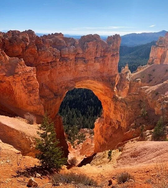
Location: Mile Marker 12.5
Hiking Distance: none
The Natural Bridge is one of several natural arches in Bryce Canyon and is worth stopping for!
You won’t have to walk more than a few steps from the parking lot to see this rare beauty.
Stop 5: Swamp Canyon Viewpoint & Trail

Location: Mile Marker 6
Hiking Distance: 4.5 miles loop
Difficulty: easy to moderate
Swamp Canyon is located at mile marker 6. I enjoyed this hike a lot more than the viewpoint since it was just us on the trail!
Once you take the initial descent from the left of the viewpoint, you will see a sign showing that the trail splits. Both trails are a part of one big loop called Sheep Creek Trail.
We continued straight at first, but quickly realized it was continuing downhill very fast.
We turned around and started the trail clockwise since we only wanted to hike a mile out and back.
The clockwise direction starts off much easier and flatter!
Stop 6: Bryce Point Viewpoint

Location: 37.60403, -112.1567
Hiking Distance: 0.2 miles to the viewpoint
Just after mile marker 3 you will turn right and drive another 2 miles to Bryce Point.
This is one last great overview of the park! It is worth stopping by to see Bryce Canyon in all her beauty.
If you’re still in the park around sunset, I would recommend catching the sunset here. Grab a spot early though, as this is a popular viewpoint in the park.
Stop 7: Visitor Center

While this is an optional stop on your way out, I would suggest taking 15 minutes to check out this visitor center.
It has an amazing museum inside that has beautiful interpretive displays so you can easily learn more in-depth about the hoodoo formations, the park’s unique geology, and a night sky exhibit.
Also, the gear in this national park is incredible and purchasing items from the visitor center directly benefits the national park.
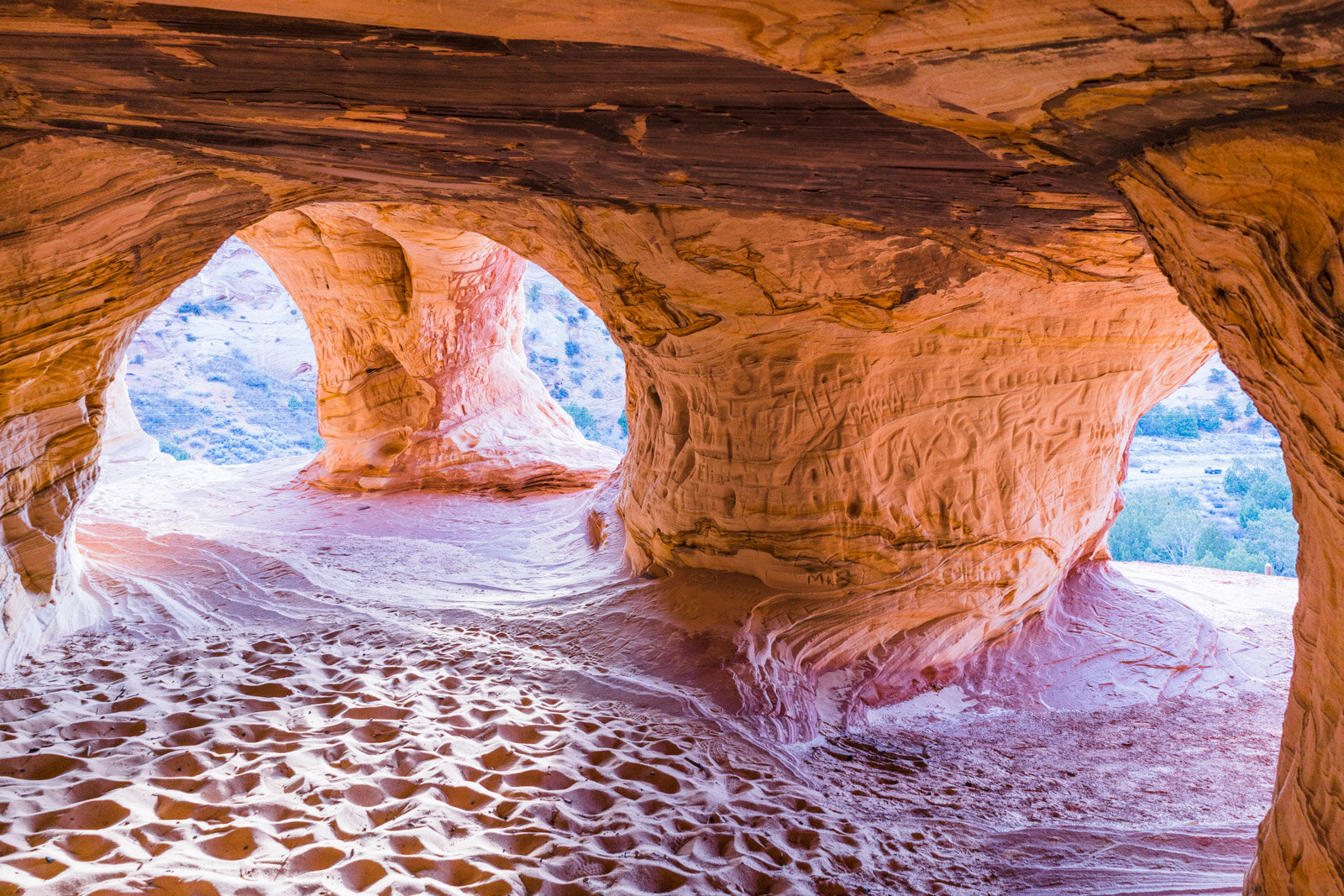
Stop 8: Mossy Cave Turret Arch


Location: 37.66595, -112.11022
Hiking Distance: 1,0 mi out and back
Difficulty: easy
Mossy Cave is actually just outside the park entrance along Highway 12.
It is approximately 4 miles east of the intersection of Highways 12 and 63.
Look for a small parking area on the right-hand side immediately after crossing a little bridge.
This is the only hike that begins below the hoodoos, making it a much easier hike.
The park describes it as a stream-side walk up to a mossy grotto that fills with icicles in the winter and dripping mosses in the summer.
Restaurants near Bryce Canyon
Now that you’ve completed your full day of hiking in the park, you’re going to be hungry!
If you’re staying in Kanab and driving back South, I highly recommend stopping at Sammie’s Chuck Wagon in Orderville, UT for some of the most AMAZING pizza you’ve had in a while!
Make sure to call ahead as it takes about 20-30 min. to make.
I also recommend stopping just across the street at the Rock Stop for amazing mini cinnamon donuts! They also have some pretty awesome raw and polished crystals.
best of Utah —
Please share this post!
It only takes a second and it benefits us greatly by sharing.






Hi thanks for sharinng this
Hi great reading your blogg