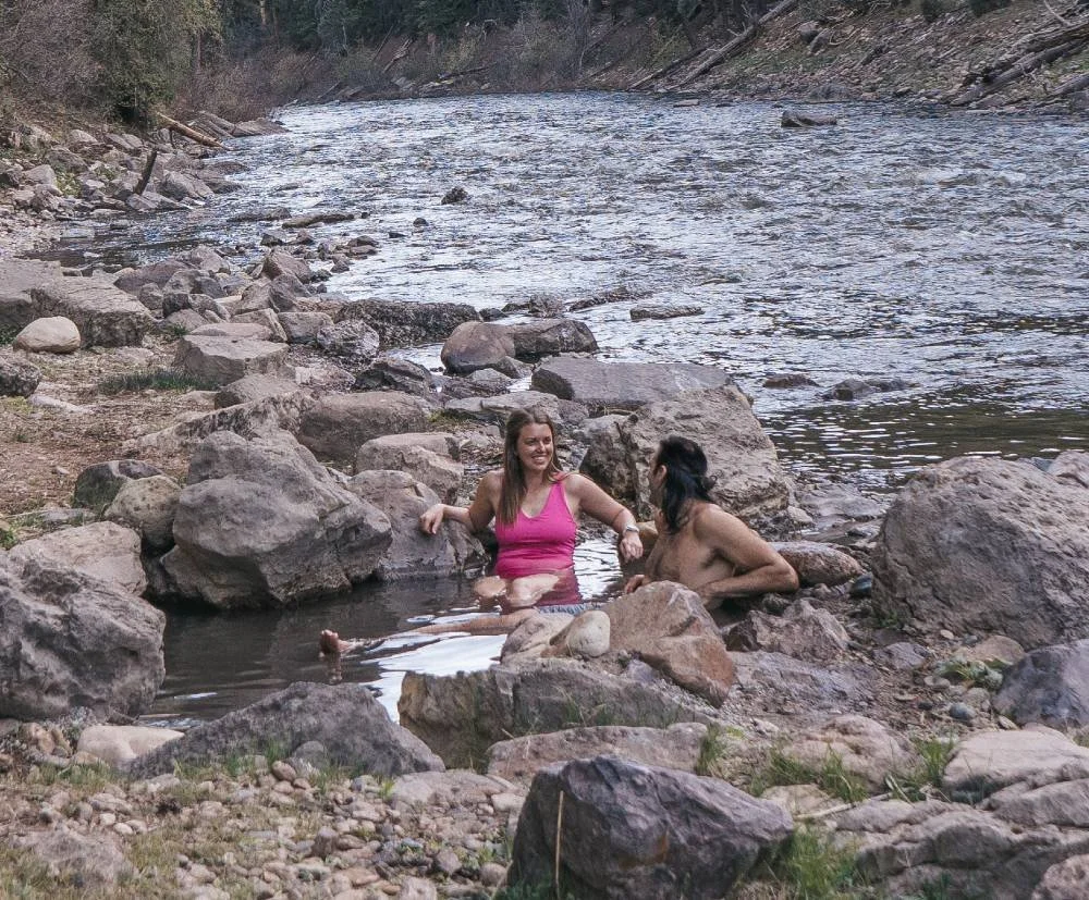
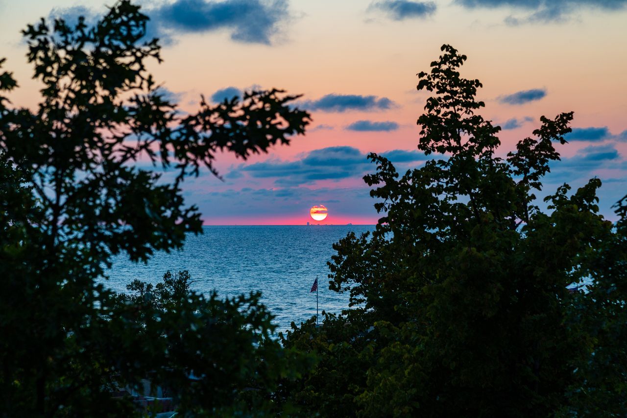
City life trains you to think in blocks, exits, and schedules. Hiking resets the scale.
Within two hours of nearly every major U.S. city, the landscape changes fast: skyline gives way to ridgeline, traffic noise dissolves into wind, and a single well-chosen trail can make a Saturday feel like a proper expedition.
The Northeast: steep ascents, old woods, and fast escapes from dense cities
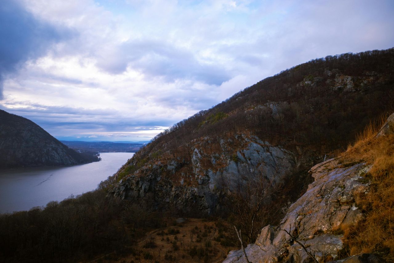
The Northeast does not always advertise itself as hiking country with the swagger of the Mountain West, but for day hikers it may be the most efficient region in America. Major cities sit close to old mountain systems, protected shorelines, and deeply established trail networks, which means dramatic terrain often begins shockingly close to downtown. The National Park Service notes that many national park places are in or near major cities, a useful reminder that a memorable walk does not require a flight, a lodge reservation, or a three-day itinerary. What matters here is choosing hikes that deliver distinct character fast.
For New York City, the classic answer is Breakneck Ridge in Hudson Highlands State Park Preserve. It remains one of the region’s most sought-after scrambles because it compresses challenge, river views, and a real sense of exposure into a manageable day trip. New York State Parks materials continue to flag the Breakneck area as dramatic, rugged terrain, and that reputation is deserved. This is not a casual stroll in sneakers; it is a hands-on climb that feels worlds away from Manhattan, yet close enough to make the city seem like a rumor by lunchtime.
Boston’s best short-range hiking answer is Blue Hills Reservation, only minutes from the city but expansive enough to feel legitimately restorative. The reservation spans more than 7,000 acres, according to Massachusetts officials, and the Skyline Trail remains its signature route, stitching together rocky rises, hardwood forest, and recurring views back toward Boston. It is the rare urban-adjacent hike that works equally well for newcomers and repeat locals because it offers enough terrain variety to feel different in every season. In spring, the woods soften; in winter, the ridges sharpen into a colder, more dramatic landscape.
Philadelphia and Baltimore both have strong claims to Appalachian day hiking, but Washington, D.C. owns the marquee trail in the region: Old Rag in Shenandoah National Park. The National Park Service describes it as the park’s most popular destination, with an adventurous rock scramble and 360-degree summit views, and that description is no exaggeration. Old Rag is the hike people talk about afterward, not simply because it is beautiful, but because it asks more of you than most East Coast day hikes do. The permit system now tied to the route underscores its popularity and the need to plan ahead, but the reward is a day that feels large, physical, and unmistakably earned.
For Boston’s farther-flung crowd and even some New Yorkers willing to start early, Mount Monadnock in southern New Hampshire remains a benchmark New England peak. It is close enough to the Boston metro to count as a day trip, and state park materials and regional tourism guidance still emphasize the mountain’s unusually broad summit views. Monadnock’s enduring appeal lies in its proportions: high enough to feel alpine, compact enough to finish in a day, and rugged enough to provide that satisfying transition from woodland trail to open stone. In a region where time is scarce and weekends vanish quickly, that formula is hard to beat.
The South: battlefield ridges, granite domes, and Appalachian payoffs

The South offers a different kind of hiking logic. Distances can look easy on a map and stretch in traffic, humidity can turn a moderate route into a serious workout, and elevation often arrives more subtly than out West. But the region’s best day hikes reward patience with layered experiences: history underfoot, long green views, and terrain that often feels more complex than first glance suggests. The strongest Southern hikes are not just pretty walks; they are stories told through topography.
Atlanta’s best answer is Kennesaw Mountain National Battlefield Park, where the trail experience is inseparable from the land’s Civil War history. The National Park Service highlights more than 18 miles of trails in the park system, and the summit routes up Big Kennesaw remain the standouts for day visitors. What makes this hike memorable is the strange and powerful overlap of woodland calm and battlefield memory. You climb through hardwood forest, pass earthworks and interpretive markers, and then step onto overlooks where the metro region spreads out in the distance, making the city feel both immediate and remote.
Charlotte has Crowders Mountain State Park within practical striking distance, and its ridgelines give the Piedmont a welcome sense of vertical drama. North Carolina State Parks emphasizes the area’s long hikes and connections into adjacent protected lands, which helps explain why the park feels larger than a typical local mountain preserve. Crowders delivers exactly what many urban Southerners want from a day hike: a manageable drive, a brisk climb, and a summit that feels exposed enough to reset the nervous system. It is especially valuable in a region where truly mountainous terrain is not always close at hand.
For Austin, Enchanted Rock is the obvious and correct choice. Texas Parks and Wildlife continues to center the iconic Summit Trail, and the granite dome remains one of the most distinctive hiking landscapes anywhere near a major American city. The appeal is visual first: bare pink granite rising out of Hill Country scrubland looks almost improbable, especially at sunrise or under clear winter light. But the deeper attraction is tactile. Hiking Enchanted Rock feels different from trail walking in forest or canyon country because the stone itself becomes the route, and weather conditions can affect access in ways that remind visitors this is a living landscape, not a paved attraction.
Miami is harder, because South Florida’s terrain is subtler and flatter, but that does not mean it lacks worthy day hikes. In that orbit, the best walking often comes through Everglades and coastal habitats where birds, water, and light matter more than summit payoff. The lesson of Southern hiking is that “best” does not always mean steepest. Near Nashville, Knoxville, and even parts of the Carolinas, Great Smoky Mountains routes remain the gold standard for all-day payoff, but for city dwellers pressed for time, a strong nearby hike succeeds when it delivers immersion quickly. The South’s finest day trips do exactly that: they move you from urban sprawl into geology, memory, and weather in a single morning.
The Midwest: underrated relief, surprising bluffs, and trails that outperform expectations
The Midwest has a branding problem in hiking conversations. Too often it is treated as flyover terrain for walkers on their way to somewhere more obviously vertical. That misses the point entirely. The region excels at accessible, high-utility hiking: river bluffs, glacial landforms, dune systems, forested ravines, and long views that arrive not through towering elevation but through smart terrain and preserved open space. For city residents in Chicago, Minneapolis, Detroit, Cleveland, and St. Louis, the best hikes are often about texture and contrast rather than altitude.
Chicago’s strongest day-hike argument belongs to the Indiana Dunes area, where the landscape shifts from industrial corridor to beach grass, oak savanna, and rolling dune in remarkably little time. The National Park Service has long highlighted the region’s ecological diversity, and that variety is the secret to its staying power. A good dune hike is not simply a lakeshore walk; it is a layered encounter with sand, forest, and open water that feels emotionally bigger than the map suggests. On windy days, Lake Michigan can look nearly oceanic, and that visual scale gives the outing uncommon power for such an easy city escape.
For Minneapolis, the best day hiking often comes through river gorge systems and state parks that capitalize on the Upper Midwest’s water-shaped geography. Interstate and Afton frequently enter the conversation for good reason, but the broader regional truth is this: Twin Cities hikers are spoiled by variety. They can choose prairie bluffs, pine woods, or river overlooks without committing to an extreme drive. The result is a hiking culture built less around conquest and more around repetition, seasonality, and local fluency. People do not just “do” these hikes once; they return in fall color, spring mud, and crisp blue winter light.
St. Louis has an unusually strong nearby option in state-park country to the south and west, where volcanic remnants, granite knobs, and Ozark-style relief create a landscape many visitors do not expect from Missouri. Detroit and Cleveland rely more heavily on metroparks, lakefront reserves, and Cuyahoga Valley approaches, but that should not be read as compromise. In many Midwestern cities, the great luxury is not extremity but access. You can leave after breakfast, hike well, and still be home for dinner without feeling rushed.
Pittsburgh sits on the edge of a different model altogether: a city where steepness exists both within and beyond the urban core. Regional tourism groups continue to emphasize everything from city steps to the Great Allegheny Passage and nearby Laurel Highlands connections. That matters because Pittsburgh’s hiking identity is transitional. It can be industrial and forested, urban and backcountry-adjacent, all in the same day. For Midwestern and near-Midwestern hikers, that is the region’s real strength. Its trails outperform expectations because they are woven into daily life rather than staged as distant spectacles.
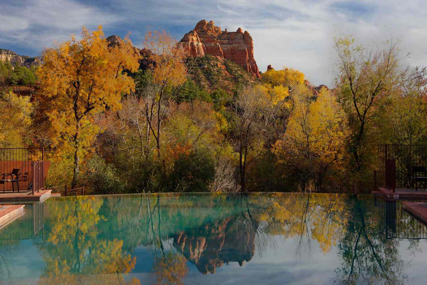
The Mountain West and Southwest: big scenery, thin margins, and hikes that demand respect
This is the region that dominates postcards, but its best day hikes near major cities are not interchangeable trophy walks. They are highly specific, often permit-regulated, season-sensitive, and increasingly shaped by crowd management and climate realities. The challenge is not finding a beautiful trail. It is choosing one that matches the day, the season, and the hiker’s actual ability. In the Mountain West and Southwest, beauty is abundant; margin for error is not.
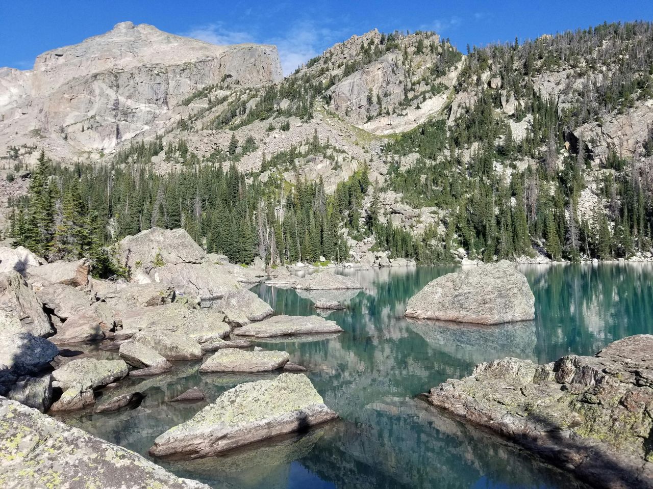
Denver’s signature day-hike zone remains Rocky Mountain National Park, where Bear Lake functions as both a trailhead and a gateway to some of the most efficient alpine scenery in America. Official park guidance continues to spotlight the Bear Lake corridor because it offers immediate access to lakes, forest, and higher-country views with flexible route lengths. That flexibility is what makes it ideal for a city audience. You can keep it easy around Bear Lake itself or extend toward stronger goals if weather and fitness allow. The caveat, of course, is planning: timed entry systems and seasonal congestion reward early decisions, not spontaneous optimism.
Phoenix is a more cautionary story. Camelback Mountain remains iconic, and the City of Phoenix still describes Echo Canyon as one of its premier hiking destinations for experienced hikers. But the city has also had to manage closures, unstable rock concerns, and extreme heat protocols that can make even famous routes temporarily inaccessible or dangerous. That is the modern Southwestern reality in one trailhead. The best nearby hike is not always the most famous one; on some days it is the one that lets you finish safely before temperatures spike. Near Phoenix, hikers should think like desert travelers first and recreation seekers second.
Las Vegas offers the opposite problem: an embarrassment of dramatic choices. For pure prestige, Zion’s Angels Landing looms large within day-trip range, but the National Park Service continues to require permits for that route, reflecting both risk and crowd pressure. That permit system has changed the psychology of the hike. It is no longer simply a bucket-list scramble but a planned objective that asks for foresight and composure. For many travelers, Valley of Fire or Red Rock alternatives may produce a more relaxed and equally memorable day.
Seattle’s answer is Mount Si, still one of the state’s most popular hikes because it condenses forest, exertion, and summit drama into less than an hour from the city. Washington Trails Association notes both its proximity and its wilderness feel, a pairing that explains its enduring status. It is close enough to be routine, hard enough to feel consequential, and scenic enough to justify the sweat. That combination defines the best Western day hikes: they look enormous, but the truly great ones are the ones that can still fit inside a normal person’s Saturday.
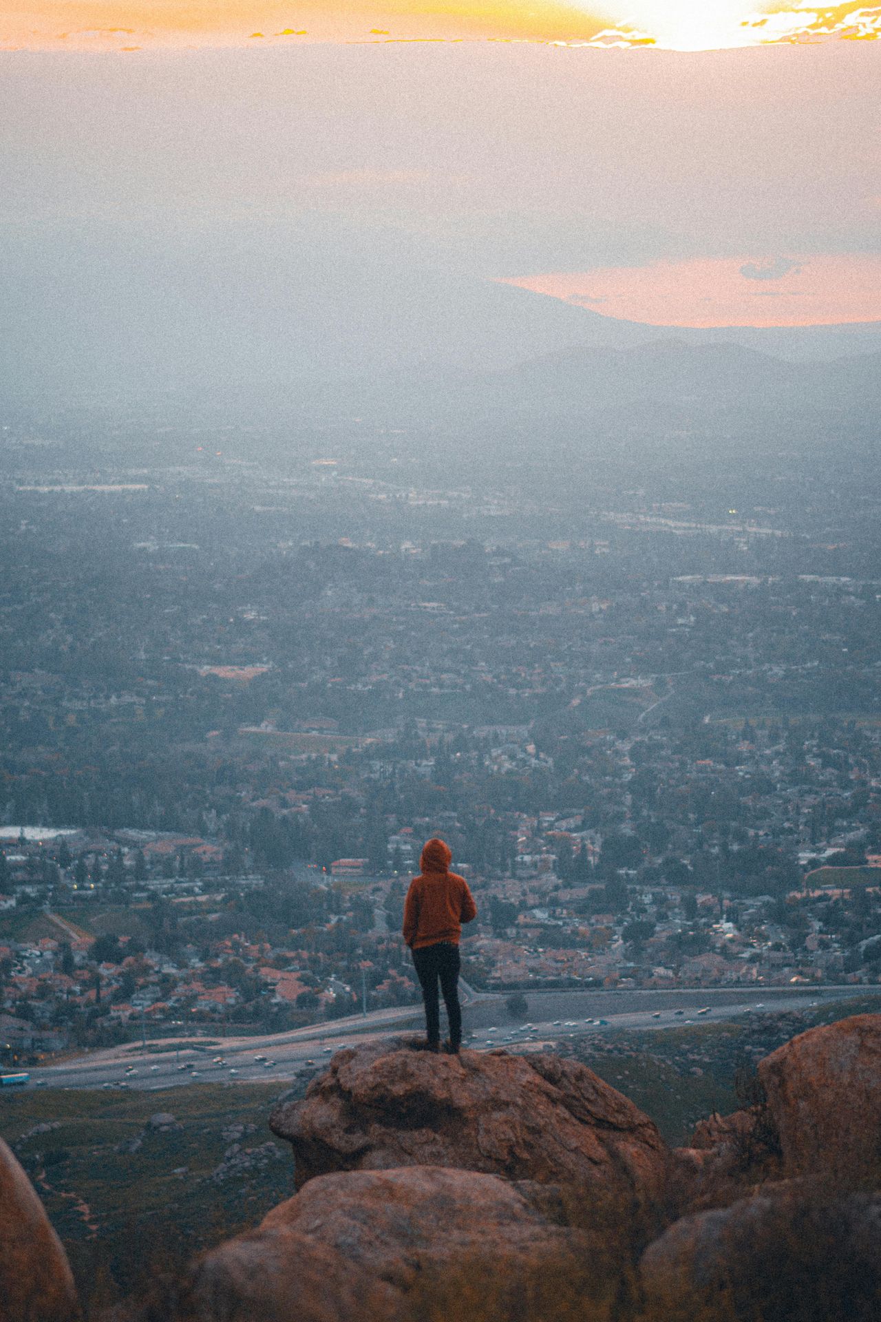
The West Coast and California: where urban ambition meets world-class trail access
No region makes the case for near-city hiking more forcefully than the West Coast. In California especially, major metros sit beside mountains, chaparral, redwood groves, and Pacific headlands that would be marquee destinations anywhere else in the country. The result is a culture where a pre-work trail run, a Saturday summit push, and a full scenic day hike can all exist within the same metropolitan orbit. The abundance is real, but so is the need to choose wisely. Crowds, fire conditions, heat, and parking logistics now shape the experience as much as topography.
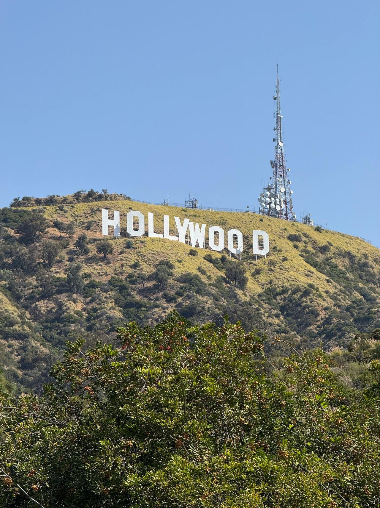
Los Angeles is the clearest example of a city whose hiking identity is built directly into its image. Griffith Park alone would make many metros jealous, and the Mount Hollywood area remains one of the smartest choices for a true city-near hike. It delivers broad views, easy access, and that improbable L.A. juxtaposition of observatory, chaparral slopes, palm-lined neighborhoods, and distant peaks. For hikers who want something more social and scene-driven, Runyon Canyon still carries that role; the Los Angeles Department of Recreation and Parks identifies it as a 160-acre park at the eastern end of the Santa Monica Mountains. But Griffith wins on landscape range and visual drama.
San Francisco’s best two-hour hiking field is crowded with contenders, from Mount Tamalpais to Point Reyes approaches and East Bay ridge systems. What distinguishes Bay Area hiking is not simply quality but density. There are many legitimate answers, each shaped by microclimate and mood. One day calls for fog-draped coastal bluff; another for sunburnt grassland and hawk-filled thermals. That variety is why local hikers become connoisseurs of wind direction, parking lots, and trailhead timing. Near San Francisco, a “best hike” is often really a best hike for this exact Saturday.
San Diego offers a cleaner hierarchy, with desert-edge routes and coastal reserve trails competing for attention depending on season. Summer can push hikers toward ocean-cooled terrain, while winter opens inland routes that would feel punishing a few months later. Portland and the greater Pacific Northwest operate with similar sensitivity, though the variables there are rain, snowpack, and seasonal access rather than blazing heat. The best day hikers in these cities are less romantic than prepared. They check conditions, then go.
That, in the end, is what links the country’s best near-city hikes. They are not merely close; they are usable. They fit modern schedules without feeling diminished by that convenience. Whether you are climbing a granite dome near Austin, scrambling above the Hudson, crossing a battlefield outside Atlanta, or grinding up Mount Si before lunch, the great American day hike does something profound with limited time: it makes a city dweller feel briefly, gloriously uncontained.